Tag Archives: History

Four Wheeling for 65 Years

Camping with my Nissan 4x4 in the Maze District

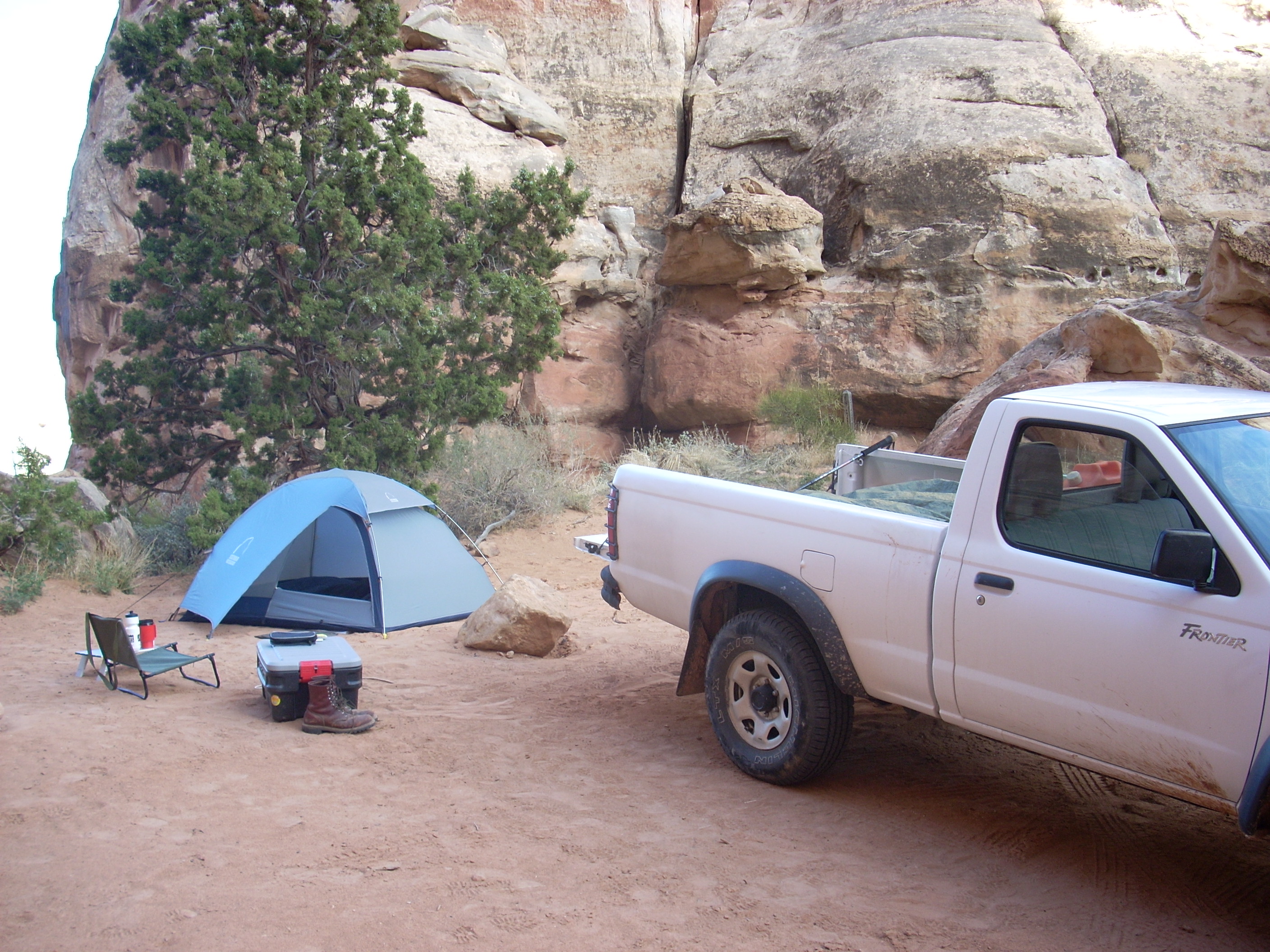
Camping with my Nissan 4×4 in the Maze District

My first four wheeling memory is from deer hunting season somewhere in the early 1950’s. We were staying at a neighbor’s ranch near Douglas Pass with a large party. We went up a creek in a WWII surplus Jeep. There must have been eight or ten people on and in that Jeep. We got up high on a rough road and a front axle broke. I was too young to know much of what was going on, but I did know the Jeep was broken and we were a long way from the ranch.  A couple of the men were pretty handy and managed to pull the broken axle with a Crescent wrench and a screwdriver, all the tools they had. My father was impressed and we made it back to the ranch.

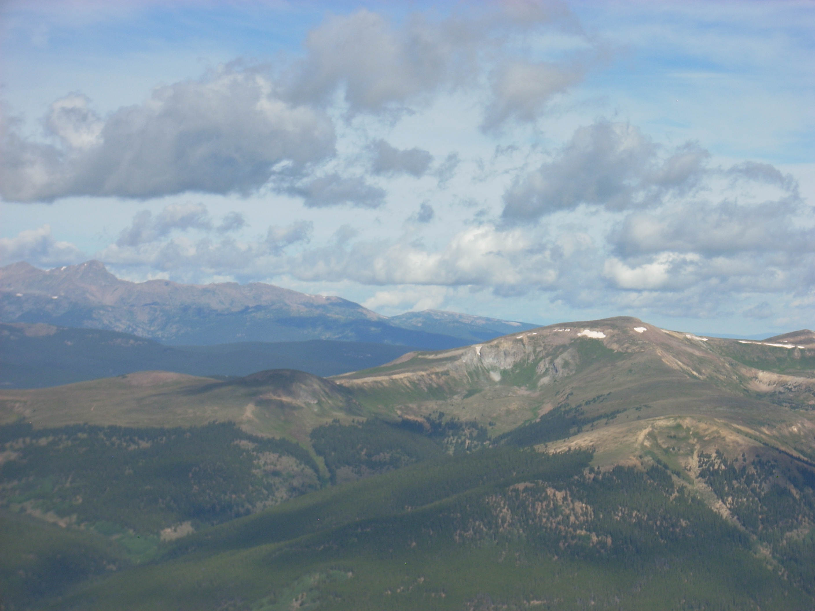
Other four wheeling trips were to what is now Canyonlands National Park. I don’t remember whose Jeep we were in, but we four wheeled over Elephant Hill into Chesler Park. The Elephant Hill road is still open, but Chesler Park was closed to vehicles many years ago. My father didn’t have a four wheel drive in those years, but we went places in our 1953 Chevrolet pickup that are considered four wheel drive only these days. Many of the roads were to fishing areas on Grand Mesa.
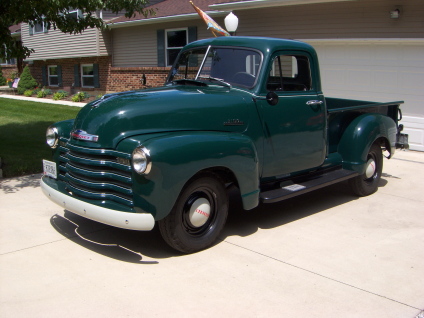
1953 Chevy

1953 Chevy

There just were not many four wheel drive vehicles in those days, so people made do. In the Bookcliffs area, famous for slick shale roads, there were many hills with a pile of rocks at the bottom of the grade. People stopped, loaded the rocks into the bed of the two wheel drive pickup for weight, and climbed the hill and went where they wanted to go, and unloaded the rocks on the way out.

WWII and Modern Jeeps

WWII and Modern Jeeps

Army surplus Jeeps became fairly common in the 1950’s, but they were fairly primitive. 35 miles per hour was about what they would do on the highway unless the owner added a Warn overdrive. They also broke a lot. I remember walking home from across the river from Fruita when the steering linkage fell apart on a surplus Jeep.

Later, in the 1970’s, four wheel drive vehicles became more common. New and modernized Jeeps, International Scouts, Broncos, Blazers, and four wheel drive pickups became fairly common. My father had two Scouts, an early Jeep Cherokee; and his first four wheeler, a 50’s Jeep wagon with a Chevy small block V8.

The first Scout got us into trouble on Elephant Hill. We were coming out after dark and as we got to the top of the hill, bouncing over the slickrock, the engine quit. It would not start, so we walked the four miles or so to the Canyonlands Resort. At that time the owner flew tourists over the canyon country, ran the resort, and flew the occasional polygamist away from the law. We waited for him to finish an enormous plate of venison and biscuits, got into his big Ford ¾ ton pickup, and went to the Scout. He towed the Scout about 50 feet and it started. The carburetor float must have stuck and the bouncing knocked it loose.

When I started buying four wheelers I got Japanese pickups. They cost less, are reliable and capable, and after all, a feller needs a truck. I just don’t like buying lots of gas for a truck. My current ride is a 2009 Toyota Tacoma 4 cylinder standard cab. Toyotas have grown, it barely fits in our new 20 foot garage.
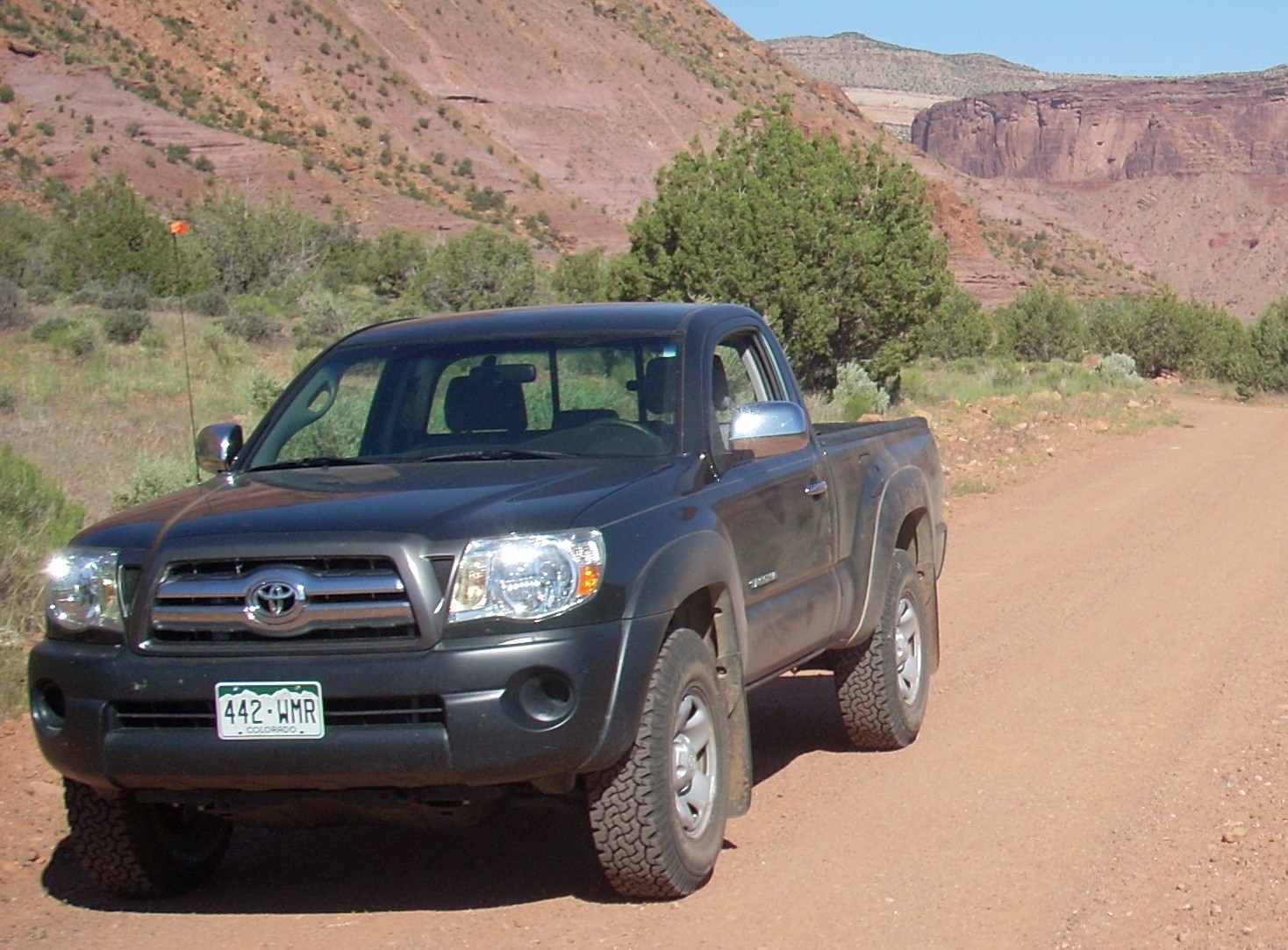
My Taco

My Taco

There are two basic types of four wheelers. There are those who four wheel to go to interesting places that require four wheel drive, and those who enjoy the sport of going to difficult places. There is overlap, but those lifted and modified vehicles are for hard core wheeling and showing off. I have a four wheel drive pickup to go places. My Tacoma is stock.

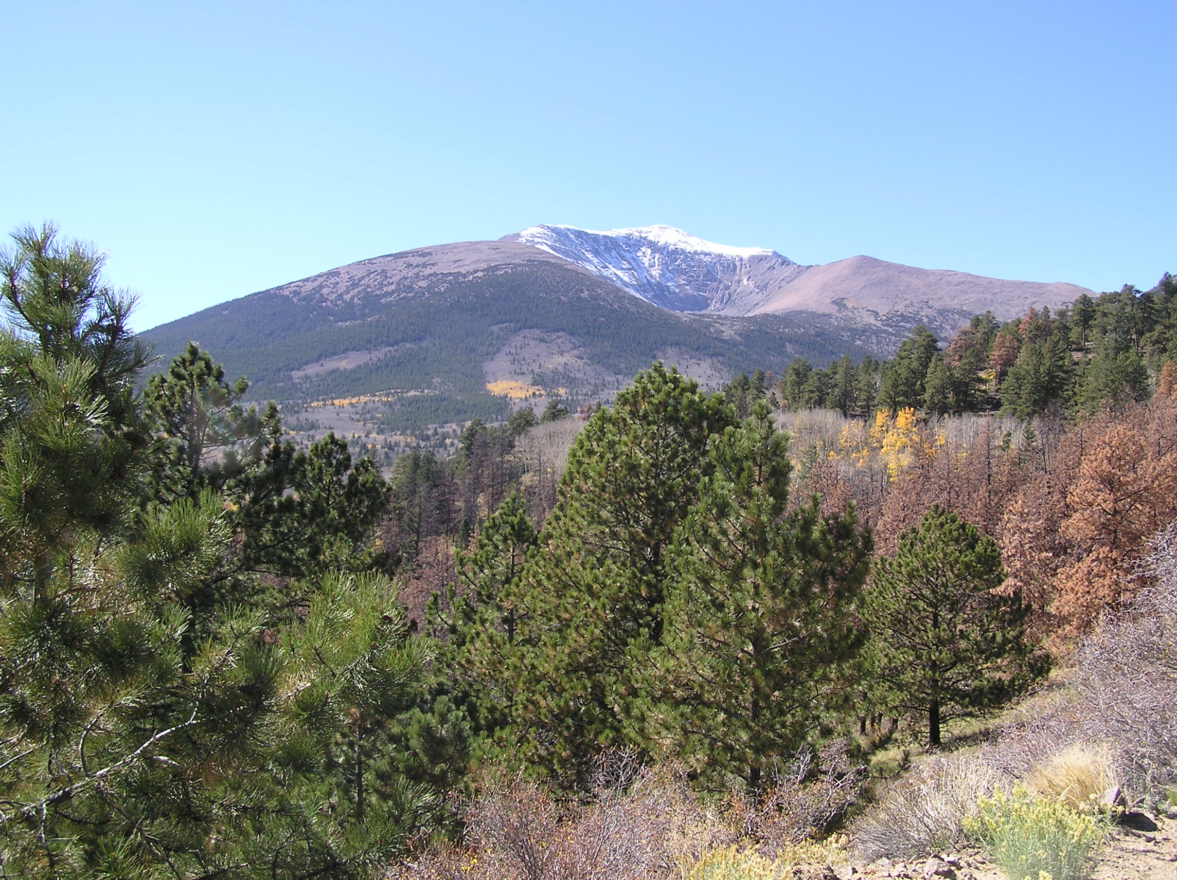
Southeastern Utah is a favorite destination for both types of four wheelers.  The Moab Rally every spring brings hardcore rock crawlers from all over the country.  There is so much to explore that is accessible because the uranium boom of the 1950’s brought about much road building into areas that had been horseback only.

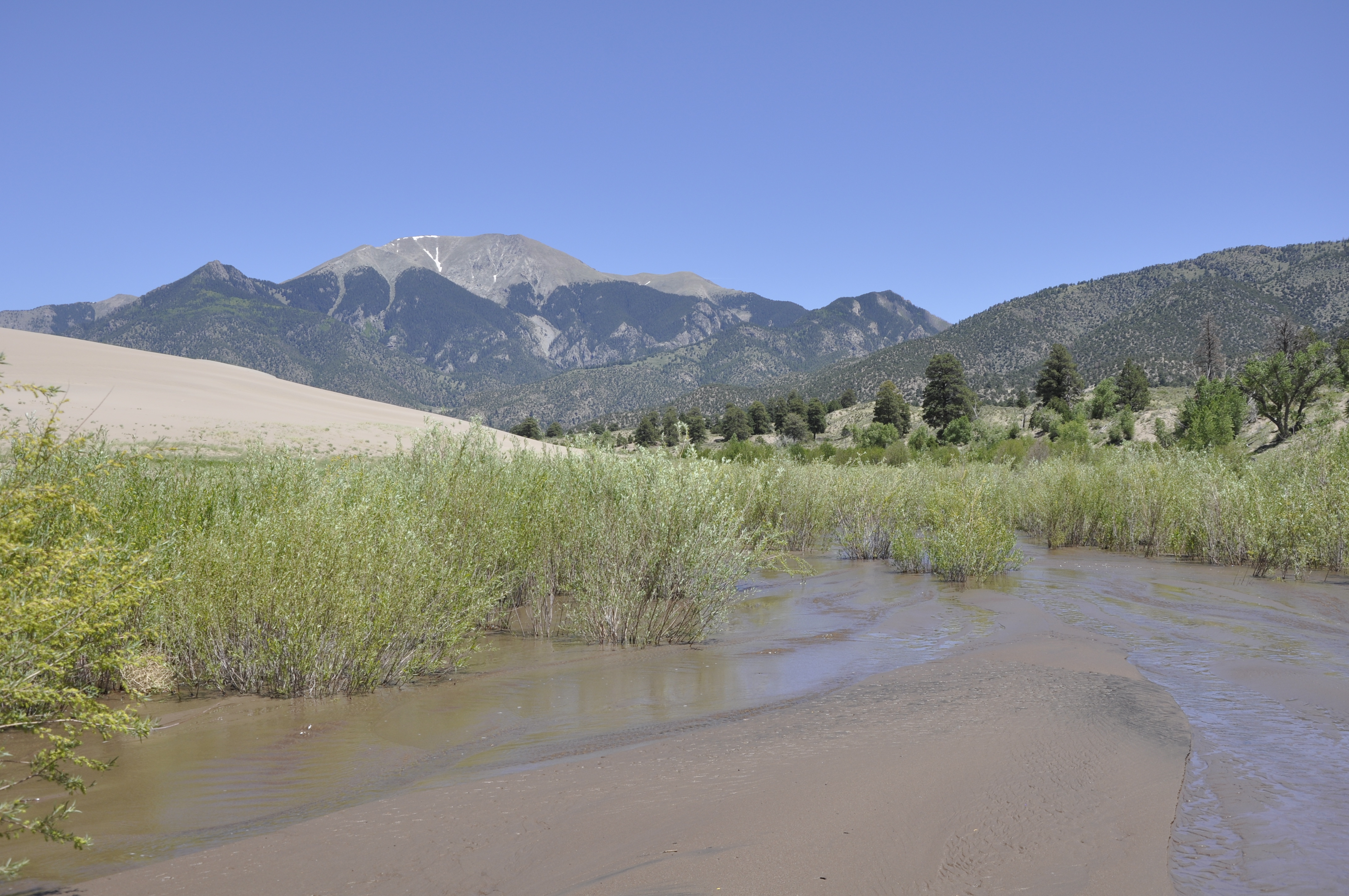
My favorite area is the Maze District in Canyonlands National Park.  70 miles of dirt road to the ranger station, then many more miles of four wheel drive to places like the Doll House, which has access to the Colorado River just below the confluence with the Green.

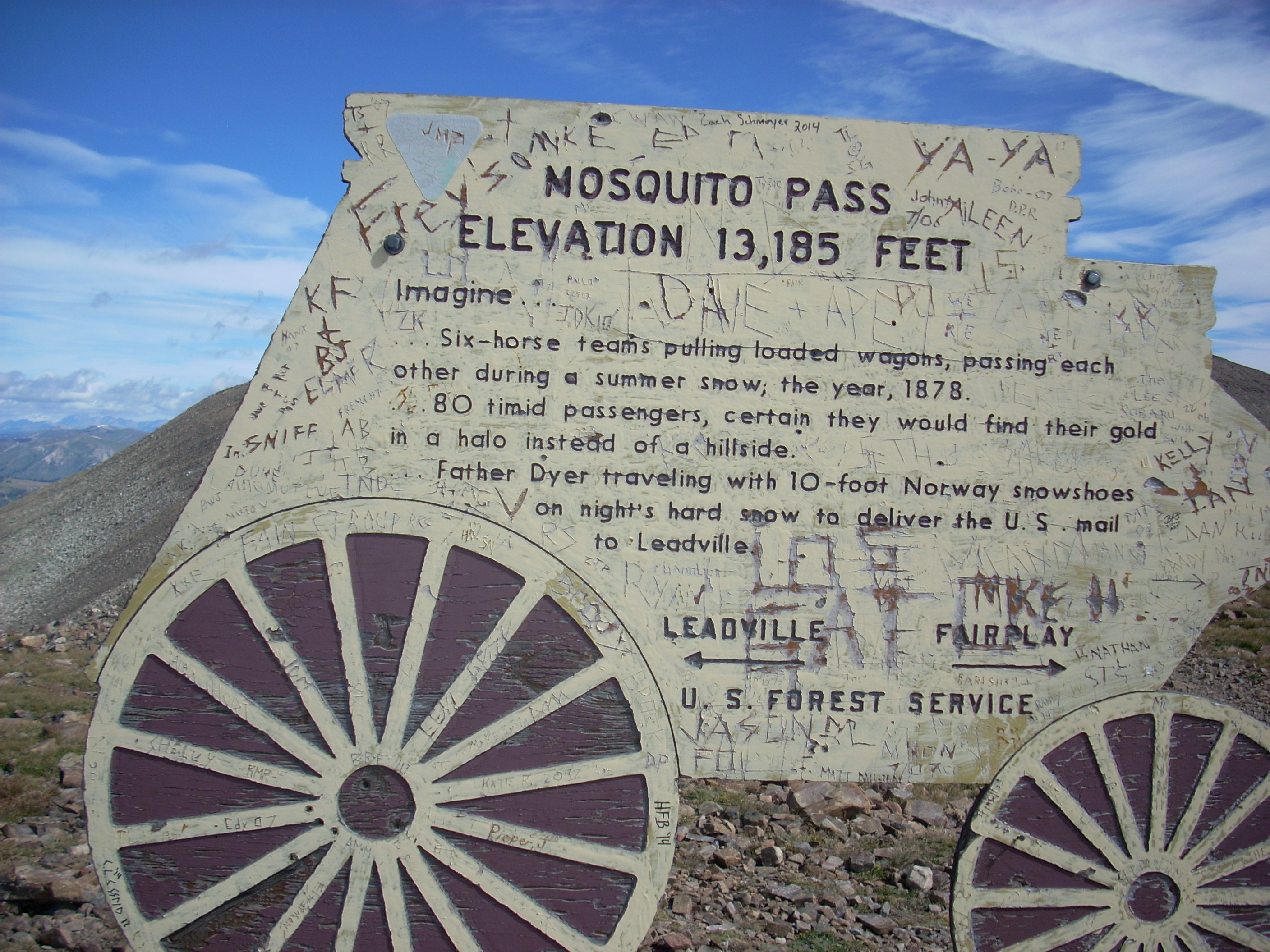
This summer seems to be devoted to going over passes. I won’t name them all, but the next one is Pearl Pass. My 12 year old grandmother drove a team and wagon over that pass in 1887. I am a bit older and my team is motorized.

Over Passes and Through Woods

West from Mosquito Pass

West from Mosquito Pass

I have already written about nearly killing myself on Mosca Pass the week of August 24, 2014.  After that little adventure, I continued my trip as planned.  My goal all year is to get over Pearl Pass, the one my grandmother drove a wagon over when she was 12 years old in 1887.

Pearl Pass often does not open until late in the season every year, and 2014 is no exception.  There are two snowdrifts blocking the road just below the summit.  Maybe later in September.

There are lots of other passes, however, and I went over 13 or 14, depending on how you count.  Passes go over the divide between two drainages.  For example, Pearl Pass marks the divide between the Roaring Fork River that goes to the Colorado River in Glenwood Springs, and the Taylor River that drains to the Gunnison River in Gunnison.

The complication is at Ute Pass, which marks the divide between Fountain Creek and the South Platte in South Park.  Right near there is Tracy Hill, not called a pass, but is the divide between the South Platte and the Arkansas Rivers.  So, did I go over one, two, or three passes when I came from Woodland Park to Cripple Creek?

So, here is the list:  Ute Pass, Tracy Hill, Mosca (I just went to the summit), Medano, Poncha, Marshall, Waunita, Cumberland, Cottonwood, Mosquito, Red Hill, Kenosha, and Guanella Passes.  Let’s call it 13 or 14 passes.

From Denver, I went via Deckers (probably going over yet another pass) to Cripple Creek and down the Phantom Canyon Road to Highway 50 outside Florence.  Then I drove to Wetmore (and another pass) and to the wet Mountain Valley and Mosca Pass, where I camped.

Next morning it was Medano Pass, first crossed by Americans in 1807 when Zebulon Pike, searching for the Red River, groped his way into the Rocky Mountains, over the pass, and wintered in the San Luis Valley, mistaking the Rio Grande for the Red.

Medano is interesting and worthwhile, with a long drive through private property to Forest service land and the climb to the summit.  It is four wheel drive, but not too bad, and not marred by those annoying ATV’s buzzing around because they are not allowed into the National Park.

From the summit, the road descends down the

Medano Creek

Medano Creek

Medano Creek canyon, which burned in 2010.  It recovering nicely.  The road crosses the creek several times and is sandy lower down.  I had no problems ignoring the Park service signs telling me to lower the pressure in my tires for better flotation in sand.  I have always thought that is for Californians, not us mountain people.  I met no other cars.

From the sand dunes I went up the vast San Luis Valley and over

Marshall Pass

Marshall Pass

Marshall Pass, the narrow gauge Rio Grande Railroad route into the Gunnison country.  I like old railroad routes.  I then bounced over more bad roads to Taylor Park, intending to go over Taylor Pass.  I started up the steep four wheel drive road, decided my sore body had had enough, turned around, went over Cottonwood, and got a motel in Buena Vista.  That hot shower sure felt good.  I found chicken mole enchiladas in a restaurant there.

The next morning was Leadville and Mosquito Pass.  The Lake County people are missing out not promoting the roads around Leadville for off-roading.  Taylor Park is overrun with ATV’s.  I met no one on the roads above Leadville.  Good for me, bad for depressed Leadville.

Passes 8-14 003Mosquito Pass is world famous, and the road is a challenge.  My stock Tacoma was fine, but the road is steep and very rocky.  They ain’t called the Rocky Mountains for nothing.  It is a spectacular trip, with views of some of the tallest mountains in our state.  I will do it again.

From Mosquito Pass I went down to Fairplay and home via Guanella Pass, another of my favorites.


Geology on The Highway of Legends

Spanish Peaks and a Dike

Spanish Peaks and a Dike

I went on a tour of Southern Colorado’s Highway of Legends with a group from Colorado’s Cherokee Trail chapter of the Oregon California Trail Association. Berl Meyer, our chapter president, summers in Cotopaxi, on the Arkansas River.  He rambles around Colorado looking at the geology and the mountains.  He is from Kentucky, so has a need to get away from relentless green.

Berl organized the trip, having us meet in La Veta.  For me the trip had two segments.   Colorado geology is one of my interests, and the Highway of Legends country has some world famous geology.

The Spanish Peaks south of La Veta, are relatively recent (geologically) igneous intrusions that rise to over 12,000 feet in elevation.  Located fairly far east for the Rockies, they served as important landmarks for early explorers and travelers.  When the intrusions barged in, they bulged and fractured the existing rock layers, and a series of vertical dikes radiate from the mountains.

Cucharas Pass is between the Spanish Peaks and the Sangre de Cristo mountains.  At 9,995 feet, it is another lovely Colorado mountain pass.  There are lots of dikes, and on the south side of the pass is Stonewall, at first look another dike, but this feature is a vertical wall of Dakota sandstone, pushed on edge by the Spanish Peaks uplift.

???????????????????????We had a startling encounter at Stonewall.  We had stopped for a break and to look the stone wall over when we had a visit from a Greek god.  Most people don’t know, but the gods are still with us.  They travel the world keeping track of events and people.  This particular Greek god is one of the lesser ones, namely Hermes’ great uncle.  The photo shows him as he was leaving.

The road then enters the coal country west of Trinidad.  There is lots of history in that area, and a world famous geological feature.  On the road to Trinidad Lake just outside Trinidad is  an exposure of the K-P (formerly K-T) boundary that marks the end of the Mesozoic era and the beginning of the Cenozoic, or modern era.  It is called the K-P because it is the boundary between the Cretaceous period and the Paleogene period.  Below the boundary, dinosaurs.  Above the boundary, no dinosaurs.K-T Boundary

The boundary is a narrow band of whitish clay that fell when an asteroid struck off Yucatan and threw a tremendous cloud of material into the atmosphere, blocking the sun and cooling the entire planet.  75% of life on earth perished, including the dinosaurs.  In a road cut on the way to the lake you can put your hand on the boundary.

There are exposures in many places around the world, including North Table Mountain in Golden, but this one is the most accessible.  I have wanted to go there for a long time.

We went to the San Luis Valley, over La Veta Pass from La Veta.  The valley is our own rift valley, formed as the movement of the Pacific tectonic plate drags some of the North American plate north.  The motion pulls things apart, and a big block subsided, forming the rift valley.  The Arkansas River north of Poncha Pass and the Rio Grande River mark the rift. (Real geologists, including Berl, don’t get the vapors at this explanation.)

Great Sand Dunes

Great Sand Dunes

On the east side of the San Luis Valley is The Great Sand Dunes National Park, another world famous geological feature.  The sand for the dunes comes from the San Juan Mountains to the west.  Normally, the sand would just keep going, blown over the Sangres to the plains farther east.  In this case, a creek picks up the sand blown off the dunes and carries it back to the other side, replenishing them every spring.  The result is a mammoth dune field, good for viewing, climbing, and tumbling down.  The creek is good for play as long as it lasts into the summer.

Good geology, good scenery, and a good time.  The geology is not a legend, however.  It is the real thing, and students from geology departments all over the country visit and study in Colorado.


Colorado’s Front Range Floods

2013 flood

2013 Flood

Those of us who live along the eastern base of the Rocky Mountains enjoy a unique set of circumstances; a fine climate, mountain views, a mountain playground, and rivers that provide much of our water needs.  There are millions of people living in an urban area that runs from Pueblo to Fort Collins.

Most of the time, the physical setting and the climate combine to make the Front Range a fine place to live.  There is risk, however.  Most of the time we don’t have quite enough water for every need. The people are along the Front Range, and the water is on the western slope.  On occasion, we have way too much water.  We are subject to drought, our own waste of the water we have, and the floods that come out of the mountain canyons.

To understand these problems requires a look at two histories, the Rocky Mountain history for the last 75 million years and human history from 1859.  Around 75 million years ago the Rockies began to form.  As they grew, they also wore down.  The debris from the mountains spread from their base to as far as Nebraska.

The streams were bigger then.  Drive east to Bijou Creek and see the valley that obviously was not formed by the current flow in the creek.  The wind blew.  It still does, leaving eolian sand deposits.  Sand Creek, draining the area east through Stapleton and into Aurora is appropriately named.  You can identify the sand hills – they are grazing land, not good for farming.  That sand and dirt comes from as far as Utah and coats our cars.


Today, the Rockies are not eroding as fast as they did during the ice ages, but they are still coming down.  Back in the Precambrian when I took geology, the assumption was that erosion was a steady, gradual process.  Taking the long view, that is so, but on a human time scale, erosion is punctuated by periodic floods.  Some of the floods are from spring runoff from wet winters.  The catastrophic floods pound out of the canyons when storms park themselves over an area and it rains.  And rains.  Sometimes it rains more in a few hours than it does in several normal years.  Sometimes the rain is where the people are, just east of the mountains.

Large amounts of moist monsoonal air from the Gulf of Mexico move north along the Rockies and encounter a cold front coming from the west.  Sometimes the rains are short in a fairly small area.  At other times, as in 2013, the rain comes down over a large area, and it rains for days. To humans, these storms seem like unusual events, but they have been happening for millions of years.  Along with normal erosion, they have filled the Denver Basin with 13,000 feet of debris.  That is a lot of rocks and mud.


1864__Cherry-Creek-Flood~p1

1864 Cherry Creek Flood

One of the first recorded monsoonal floods was in 1864, not long after Denver was settled.  Cheyenne and Arapaho Indians told the settlers seeking fortune not to build where Cherry Creek and the South Platte meet.  The town builders built there anyway.  It was a logical town site.  Trails met, grass, trees, and water were available, and the gold-rich mountains just a short distance away.  Much of the new town went downstream.


The town was rebuilt in the same place.  Floods came again.  Denver flooded in 1876, 1885, 1894, 1912, 1921, 1933, and 1965.  Pueblo flooded in 1921, the Big Thompson in 1976, Manitou Springs and Colorado Springs in 2013, and much of the Front Range from Denver to Fort Collins in 2013.  The link is from the Atlantic Monthly, with dramatic images from the 2013 flooding.

Most vulnerable are towns at the base of the mountains: Manitou Springs, Palmer Lake, Morrison, Golden, Boulder, Lyons, Loveland, and Fort Collins.  Towns along the South Platte, St. Vrain, Cache La Poudre, and Big Thompson rivers are at special risk.

DSCN0960

Jamestown 2014

Will people stop building there?  Rebuilding is underway in every area flooded in 2013.  While researching this piece I traveled to Boulder, Jamestown, Lyons, and the farmland along the St Vrain.   I saw travel trailers parked nest to damaged homes with building permits on the flood-damaged houses.

Some actions do prevent floods.  Denver has Cherry Creek, Bear Creek, and Chatfield dams.  They are flood control dams designed to capture floodwaters.  Let’s hope they are big enough.

The photo above has a lot of rock in the foreground.  The rocks range in size from sand and silt to head size.  They were exposed by the 2013 flood, but were deposited by a previous flood that had enough force to carry that debris and dump it there.  upstream, there are narrow gulches with the lower ends scoured down to bedrock.  That debris went further downstream.

The Rocky Mountains are on the way to the Mississippi river delta in Louisiana.  It will take many millions of years, but they will wear down and become Mississippi mud.  Floods will hasten the process.

The Secret

Four Mile House

Four Mile House

I have a lot of fun with the elementary school children at Four Mile Historic Park.  In my introduction, I talk about the horses, warning them about being kicked or bitten.  I then show them my missing finger.  That gets the message across, even after I tell them it was not a horse.  When there are several Latino kids in the group, they learn that my name in Spanish is Nueve.

One of my favorite things is to get some of the girls aside and ask them if they know the secret.  They don’t know, of course.  I tell them, “Girls are smarter than boys.”  There are several reactions.  With several girls, it is “Yes!” with some high fives.  With first or second graders, they are a bit surprised, but agree.  With older girls, they usually nod sagely.  They all like hearing it from an old man.

Parents and teachers also like hearing it.  I tell them about the Bill Clinton Society.  That is the organization of men whose wives are smarter than they are.  Women and men all agree that all men are members, with a big laugh.

I also make a point of establishing myself as a big storyteller.  They learn that some of my stories are true, some not so true.  I do say when I am not lying, as how I really lost my finger.

Often, I tell them about my grandmother Pearl driving a wagon from Texas to Colorado in 1887 when she was 12.  The link to that story is here.

Another thing we show the children is the fuel for campfires the pioneers used out on the prairie.  We ask them what fuel they would have used where there was little firewood.  The answers are usually grass, rocks, or wood.  “No wood, grass burns too fast, rocks don’t burn.  They used Buffalo Chips.”

Buffalo Chips

Buffalo Chips

We hold one up.  They don’t quite understand until we say “Dried buffalo poop.”  “Eww!”  is the universal response.  They then learn that it was the task of the children to gather the stuff.  They begin to understand that life on the trail was not very easy.

The children visiting Four Mile have fun, I have fun, and we all learn something.  The main thing I have learned is that the kids are bright, fun-loving, and they enjoy learning.  Most of the teachers encourage the learning and fun.  Some of the teachers are only interested in control.  We all had too many of them.  I do my best to counter that attitude.  This is my fourth year at Four Mile.  In that time, only three children have been a big problem out of the thousands I have met.  I hope to meet and have fun with many more.

Recent Entries »