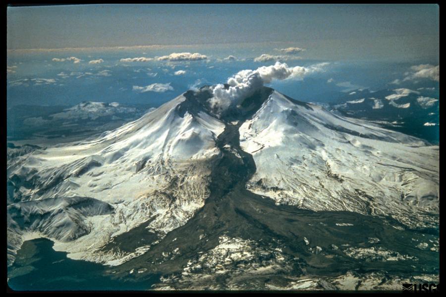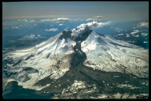
Mt. St. Helens showing a Lahar, a mud and ash flow that ran 50 miles downstream during the eruption.
Stephen Hawking says we need to have to develop means to get off the planet when the Big One, whatever it is, is about to strike. That is not terribly realistic, relocating several billion people to a place light-years away. In other words, life on earth is toast. Someday.In the meantime, life goes on. It is spooky how we are fouling the planet. We humans may create the need to get off this little ball without the means to do so. In other words, life on earth is toast. Sometime, maybe sooner.So, let’s deal with what we have while we can. There are things we can do, but the means to act are part of a political process. As long as politics is motivated by greed at the level it is currently, we are likely toast. Maybe sooner.

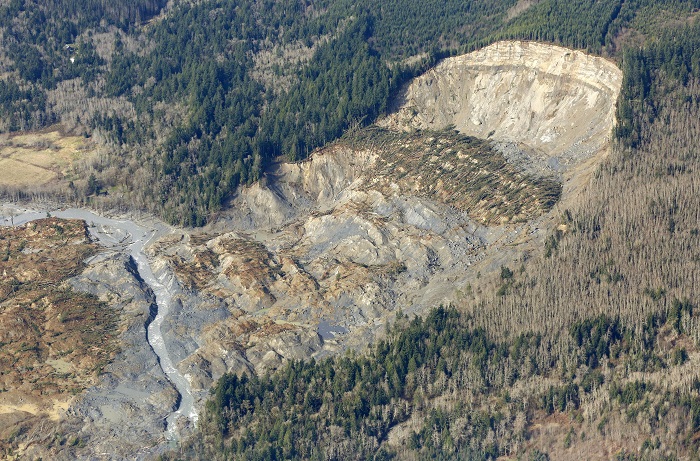
The cliff that collapsed into a massive mudslide is seen covered with felled trees in Oso, Washington March 31, 2014. Recovery teams struggling through thick mud up to their armpits and heavy downpours at the site of the devastating landslide in Washington state are facing yet another challenge – an unseen and potentially dangerous stew of toxic contaminants. REUTERS/Rick Wilking (UNITED STATES – Tags: DISASTER ENVIRONMENT) – RTR3JE4A
As individuals, we must do what we can, and get along with our lives. We can help, and maybe stave off the inevitable to some degree. We can respond to natural events. Floods, earthquakes, tornados, landslides, hurricanes, those things we can react to and help. We must do more than sit in the Lazy-Boy looking at the screen eating Doritos. We can give money away, stir things up in meetings, vote, and give some time.
Well, we can do things until Yellowstone blows. It is surprising how resilient humans are. Ice ages, cataclysms, droughts, they may kill some and move others around, but the species has struggled on through it all. We haven’t been around very long, however, and haven’t had to deal with any Really Big Ones in the blink of time we have been around.
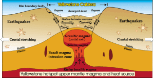
The Yellowstone Caldera
The Park Service says the Yellowstone super-volcano is pretty safe, that most eruptions are limited lava flows. But, someday, it will be like the last big one that created a caldera almost as large as the park. The Snake River Plain in Idaho with all those lava flows is the track of the Yellowstone hot spot as the North American Plate traveled west. The plate moves at about the rate your fingernails grow. As it moves, it erupts. It just takes a while.
Hurricanes, tornadoes, floods, drought, all interest me, but I am most interested in geologic cataclysm. One of my favorite potential geologic disasters is climate-related. Years ago I read an article proposing that sea level rise could lead to the Gulf Stream moving over the continental shelf and invading the Arctic Ocean. Europe would cool off with the loss of that warm water and the Arctic Ocean would thaw. With all that open water in the north, evaporation would increase, snowfall would increase in the Arctic, precipitating a new ice age.
I haven’t seen much on that hypothesis lately. Researchers seem to be concentrating on the rapid melting going on without Gulf Stream migrations, although the Gulf Stream does seem to be weakening. There are just so many variables to consider.
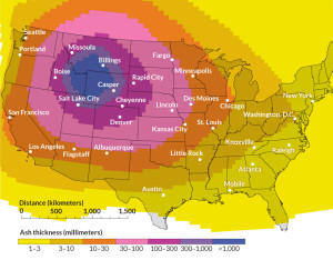
Ash From a Yellowstone Eruption
With respect to the Yellowstone super volcano exploding and killing most life in North America, there is only one variable: when. A couple of years ago I was on a ramble in Wyoming. Fort Laramie was my destination, but on the way I looked for the Oregon-California trail wagon ruts along the Platte outside Guernsey. The ruts are dramatic, going up from the river bottom to some higher ground. They are axle-deep in some tan colored rock that looks like sandstone at first glance. It is volcanic tuff from the last time Yellowstone blew. The layer is four or five feet deep about 200 miles from Yellowstone. That is a lot of stuff blown into the atmosphere. All that material along with the CO2 and SO2 would kill most everything for many hundreds of miles.
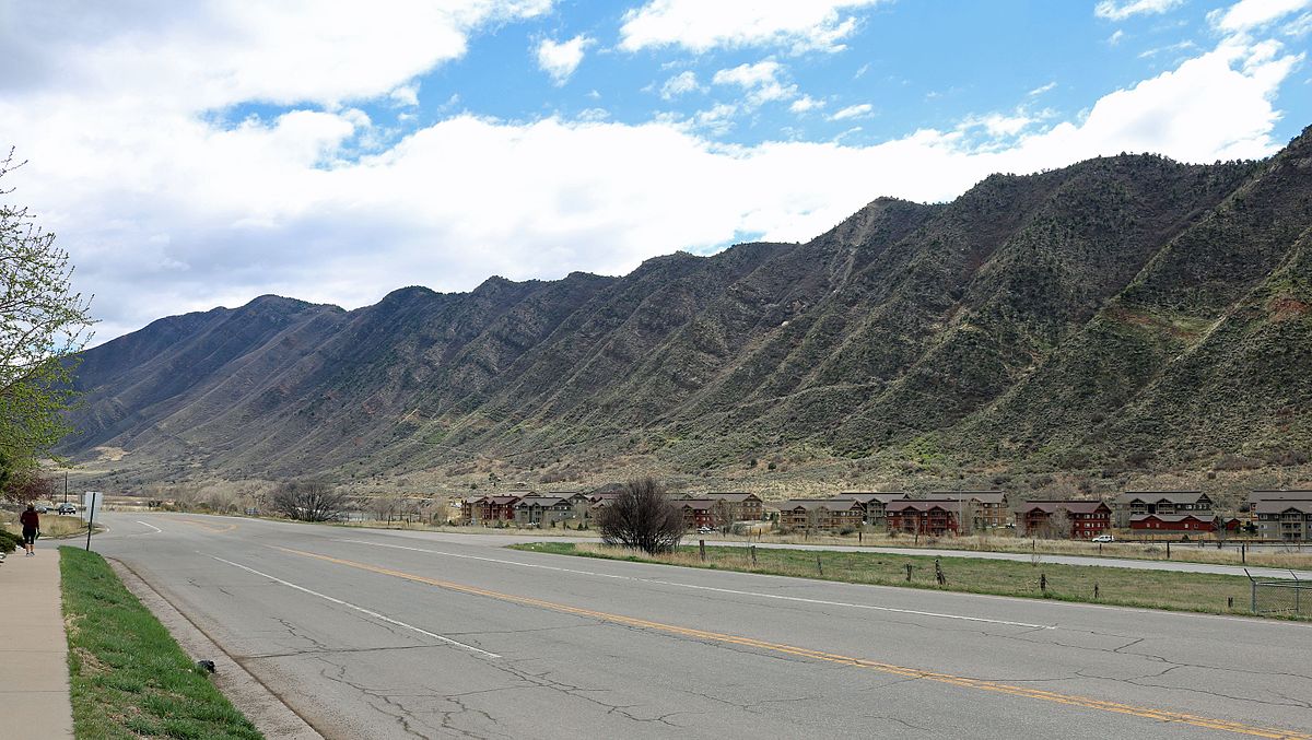
The most recent volcanic eruption in Colorado was about 4500 years ago at Dotsero. The entire San Juan mountain range is volcanic. Huerfano Butte near Walsenberg is a volcanic neck. There are eroded lava flows on Trail Ridge Road in Rocky Mountain National Park. There are lots of hot springs in Colorado. Where is all that heat coming from? Will the Glenwood Hot Springs Pool erupt? Will Steamboat Springs’ boiler explode?
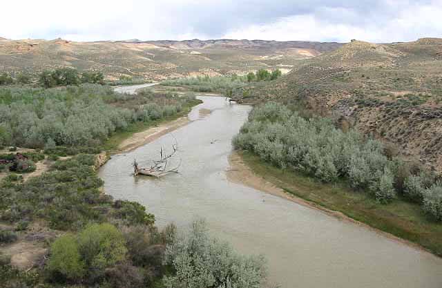
Landslides. There is even one not far from Fruita on I-70. Debeque canyon on the Colorado River is famous landslide country. That landslide that killed three men outside Collbran last year is the same geologically. Green Mountain in Lakewood has a landslide that destroyed several houses. The Vail/Eagle River valley is good landslide country. All it takes is a lot of moisture in spring. The canyons incising the front range are landslide prone. All that rock will eventually find its way to Louisiana as mud.
The upside of all that landslide country is that it gives geologists and earthmoving contractors work.
There is a radioactive isotope of radon gas that is common in some of our Colorado rocks that houses are built on. Basements become carcinogenic. There is an anthropomorphic cause of radioactive basements as well. In Grand Junction, uranium mill tailings were used as backfill around basements is some subdivisions. More work for geologists, and a Superfund site.
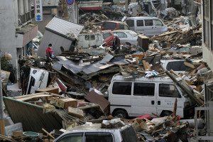
Debris is strewn over an area affected by an earthquake and tsunami in Miyako, Iwate Prefecture, March 14, 2011. REUTERS/Aly Song (JAPAN – Tags: DISASTER ENVIRONMENT)
Earthquakes. Again two causes, natural and human-caused. All those earthquakes in Texas and Oklahoma caused by injecting fracking water back underground have a Colorado history. Rocky Mountain Arsenal outside Denver was used to manufacture poison gas for military use and later poison gas for agriculture. They pumped a lot of the toxic wastewater down wells and set off earthquakes. They stopped that. The oil companies are not stopping. Yet.
Colorado is earthquake country. Making mountains, shoving rock around to make room for more rock shakes things up. The Flatirons outside Boulder used to be flat. North and South Table mountains are capped with basalt from lava flows. These processes are still going on in lots of places.
The Rio Grande Rift is a Rift Valley stretching from Southern New Mexico to north of Leadville. The earth is pulling apart. Look at the San Luis valley, that is a lot of pulling. It is still going on, but slowly in human terms. There will be earthquakes. The biggest quake-causing fault near Denver is the Golden Fault, formed when the Rockies were uplifted. That uplift has happened about three times. The mountains come up, get eroded down, come up again, get eroded again. Will it happen again? There seems to be some weakness in the crust around here.

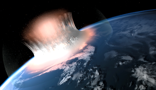
What the Meteor Looked Like Impacting off Yucutan
There are asteroids out there that have orbits that coincide with the earth’s orbit. It has happened before, could again. I saw Charlie Rose interviewing Neil DeGrasse Tyson, and he mentioned the possibility. We have the technology to deal with the the threat, but it will take a lot of money and cooperation. Will it happen before we need it? Will it be too late when the danger is imminent? Ask a Republican. I hope you sleep well tonight.
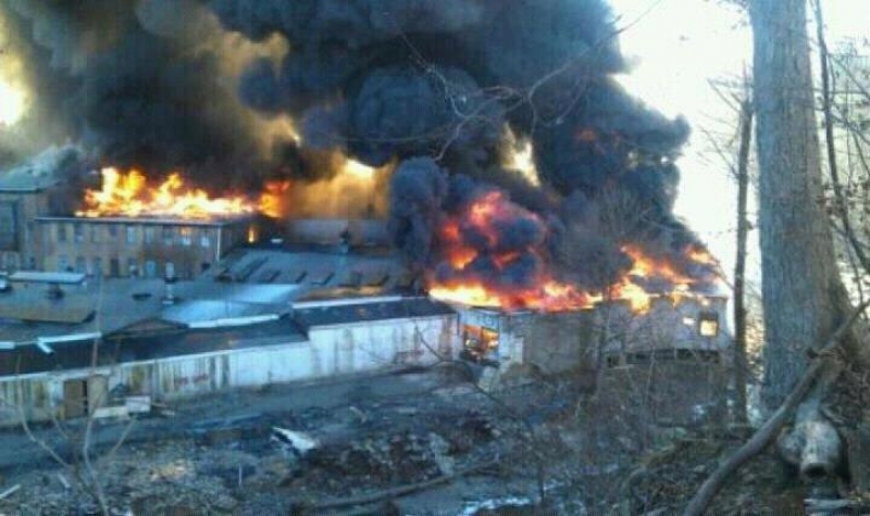
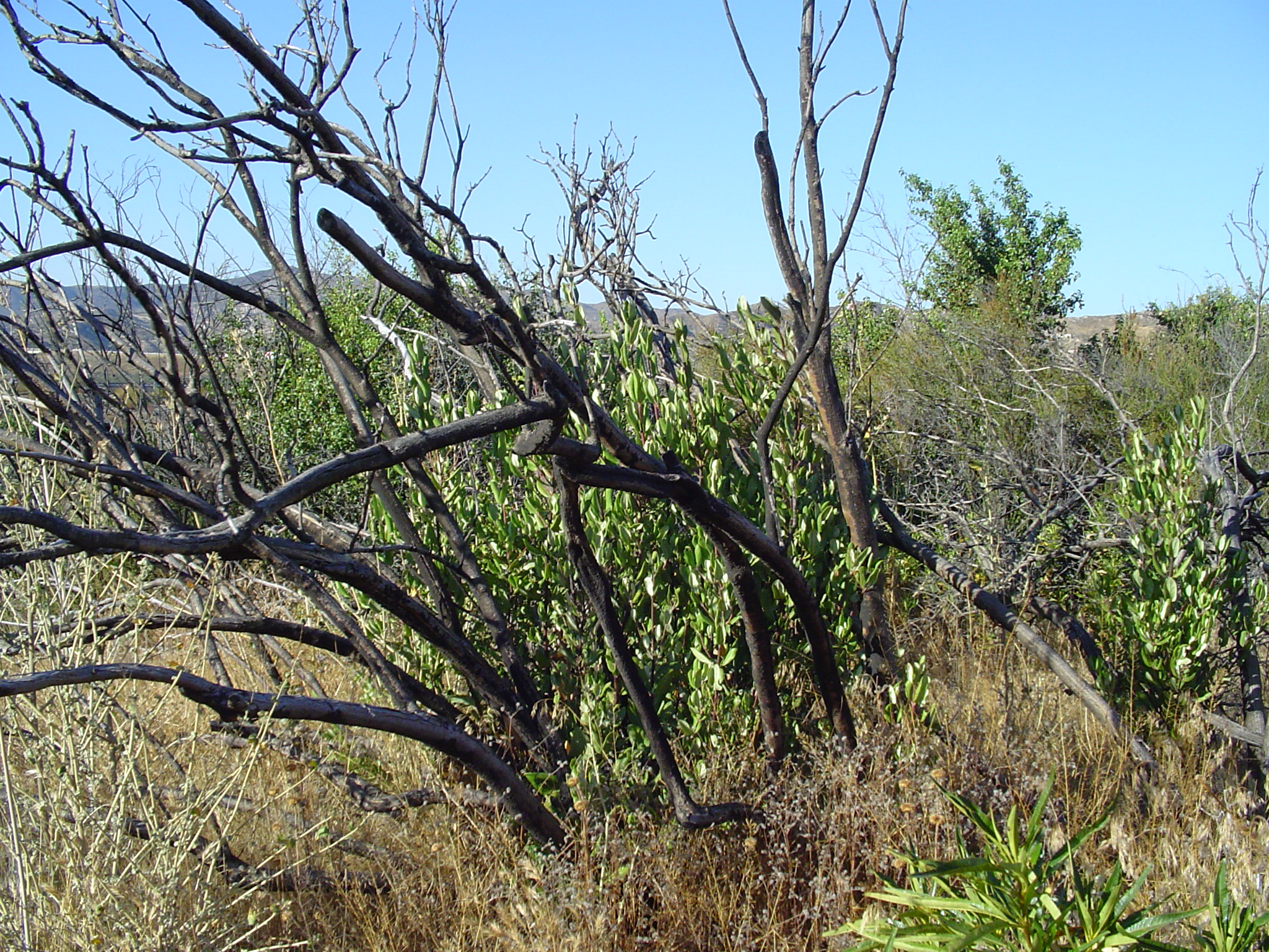
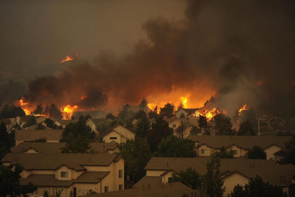
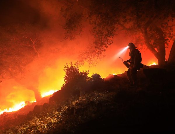
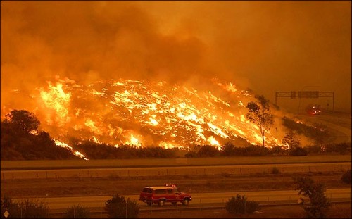
 killed fourteen firefighters was north of the river and just west of Glenwood. The fuel load was greater because the area had not burned for some time.