Over Passes and Through Woods
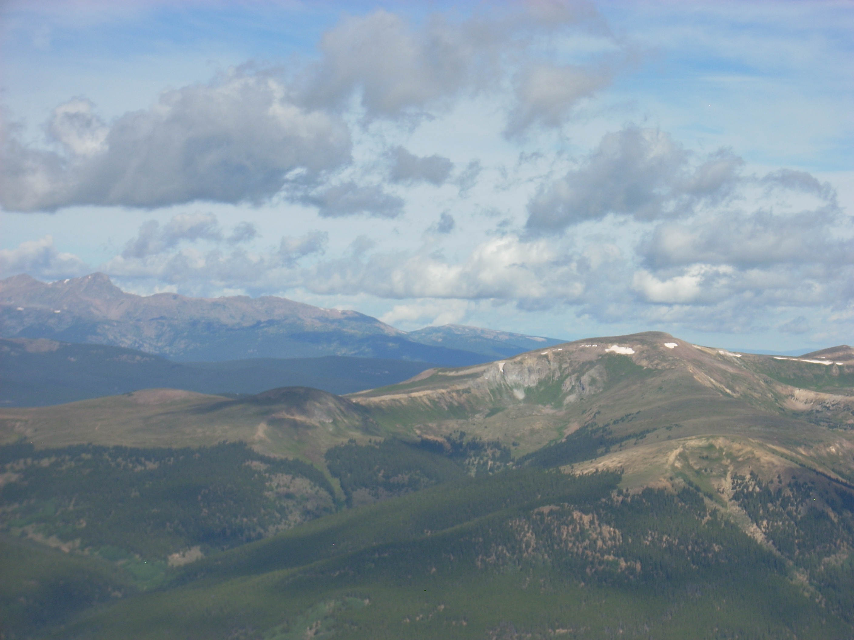
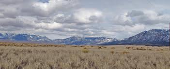
West from Mosquito Pass
I have already written about nearly killing myself on Mosca Pass the week of August 24, 2014. After that little adventure, I continued my trip as planned. My goal all year is to get over Pearl Pass, the one my grandmother drove a wagon over when she was 12 years old in 1887.
Pearl Pass often does not open until late in the season every year, and 2014 is no exception. There are two snowdrifts blocking the road just below the summit. Maybe later in September.
There are lots of other passes, however, and I went over 13 or 14, depending on how you count. Passes go over the divide between two drainages. For example, Pearl Pass marks the divide between the Roaring Fork River that goes to the Colorado River in Glenwood Springs, and the Taylor River that drains to the Gunnison River in Gunnison.
The complication is at Ute Pass, which marks the divide between Fountain Creek and the South Platte in South Park. Right near there is Tracy Hill, not called a pass, but is the divide between the South Platte and the Arkansas Rivers. So, did I go over one, two, or three passes when I came from Woodland Park to Cripple Creek?
So, here is the list: Ute Pass, Tracy Hill, Mosca (I just went to the summit), Medano, Poncha, Marshall, Waunita, Cumberland, Cottonwood, Mosquito, Red Hill, Kenosha, and Guanella Passes. Let’s call it 13 or 14 passes.
From Denver, I went via Deckers (probably going over yet another pass) to Cripple Creek and down the Phantom Canyon Road to Highway 50 outside Florence. Then I drove to Wetmore (and another pass) and to the wet Mountain Valley and Mosca Pass, where I camped.
Next morning it was Medano Pass, first crossed by Americans in 1807 when Zebulon Pike, searching for the Red River, groped his way into the Rocky Mountains, over the pass, and wintered in the San Luis Valley, mistaking the Rio Grande for the Red.
Medano is interesting and worthwhile, with a long drive through private property to Forest service land and the climb to the summit. It is four wheel drive, but not too bad, and not marred by those annoying ATV’s buzzing around because they are not allowed into the National Park.
From the summit, the road descends down the
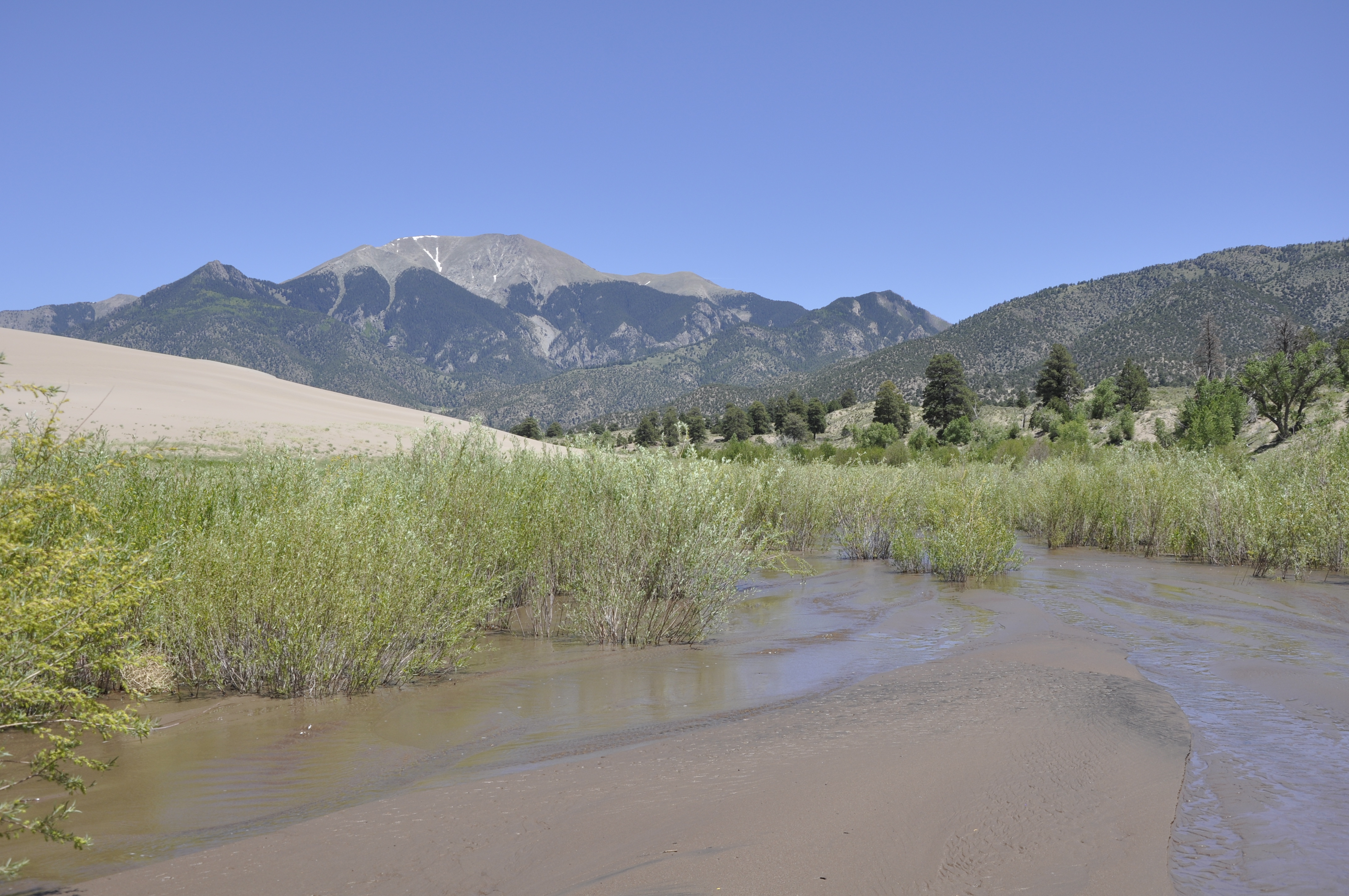
Medano Creek
Medano Creek canyon, which burned in 2010. It recovering nicely. The road crosses the creek several times and is sandy lower down. I had no problems ignoring the Park service signs telling me to lower the pressure in my tires for better flotation in sand. I have always thought that is for Californians, not us mountain people. I met no other cars.
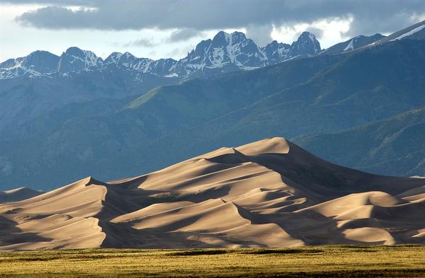
From the sand dunes I went up the vast San Luis Valley and over
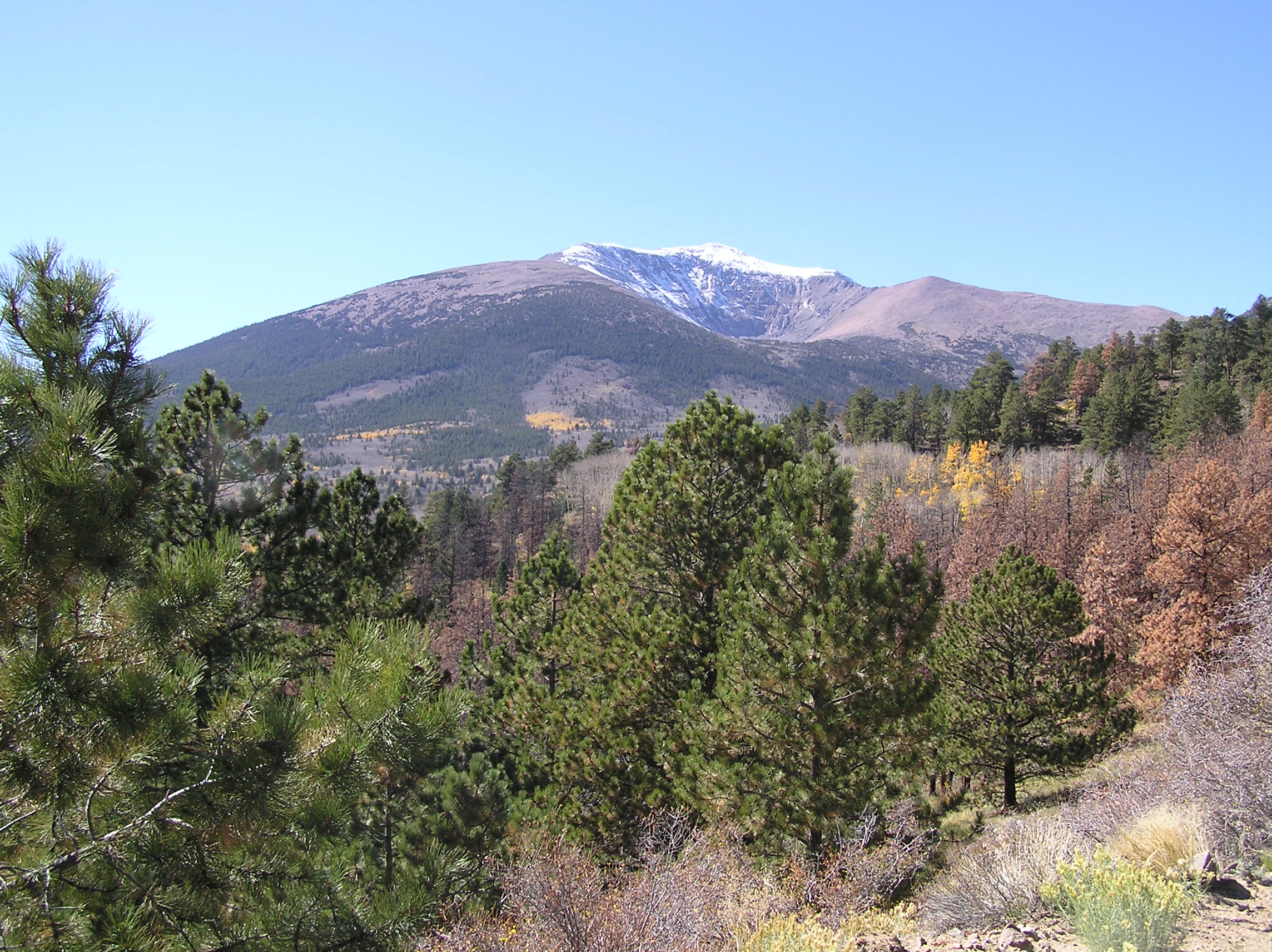
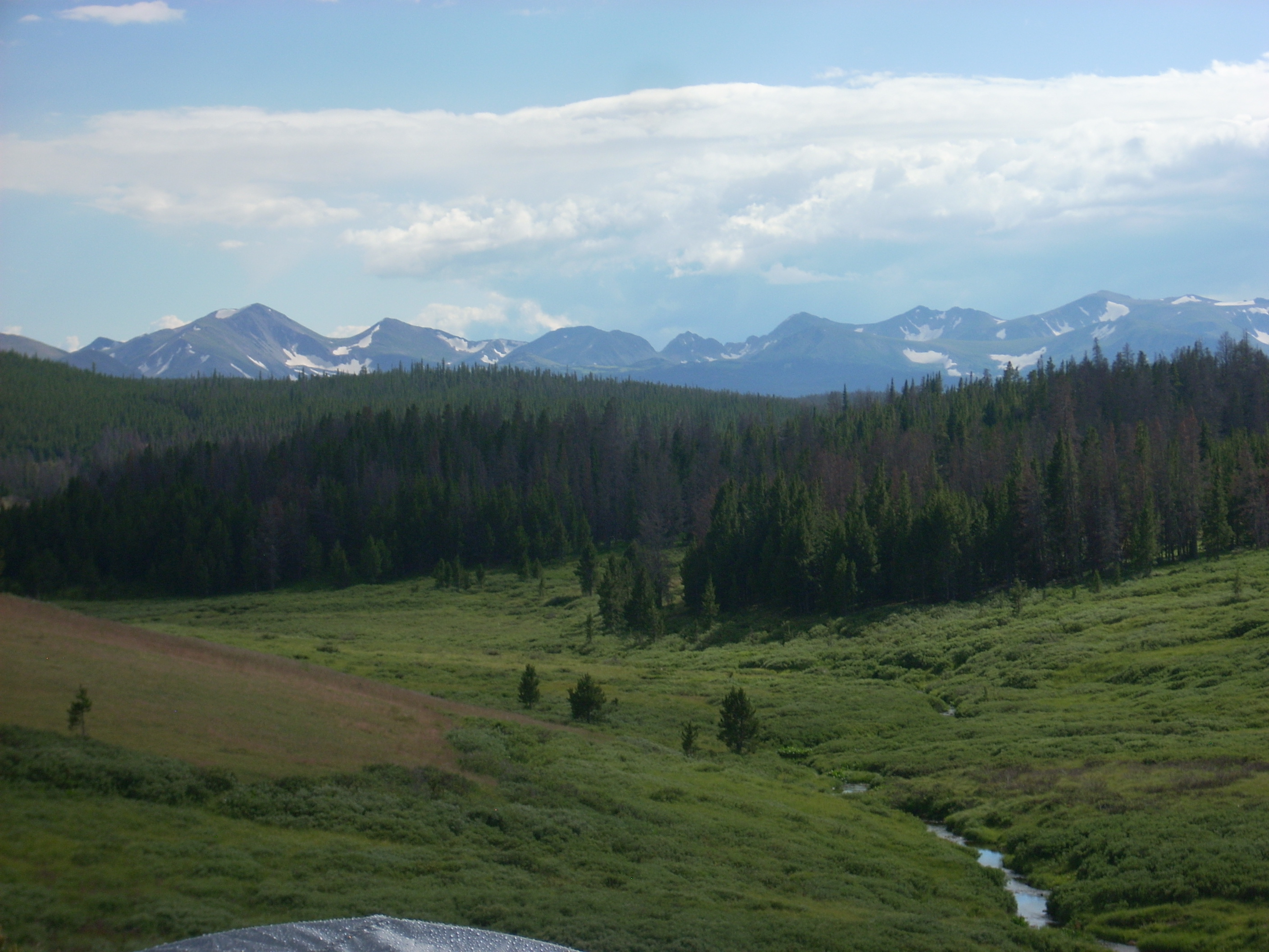
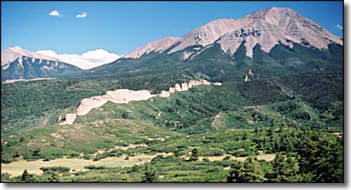
Marshall Pass
Marshall Pass, the narrow gauge Rio Grande Railroad route into the Gunnison country. I like old railroad routes. I then bounced over more bad roads to Taylor Park, intending to go over Taylor Pass. I started up the steep four wheel drive road, decided my sore body had had enough, turned around, went over Cottonwood, and got a motel in Buena Vista. That hot shower sure felt good. I found chicken mole enchiladas in a restaurant there.
The next morning was Leadville and Mosquito Pass. The Lake County people are missing out not promoting the roads around Leadville for off-roading. Taylor Park is overrun with ATV’s. I met no one on the roads above Leadville. Good for me, bad for depressed Leadville.
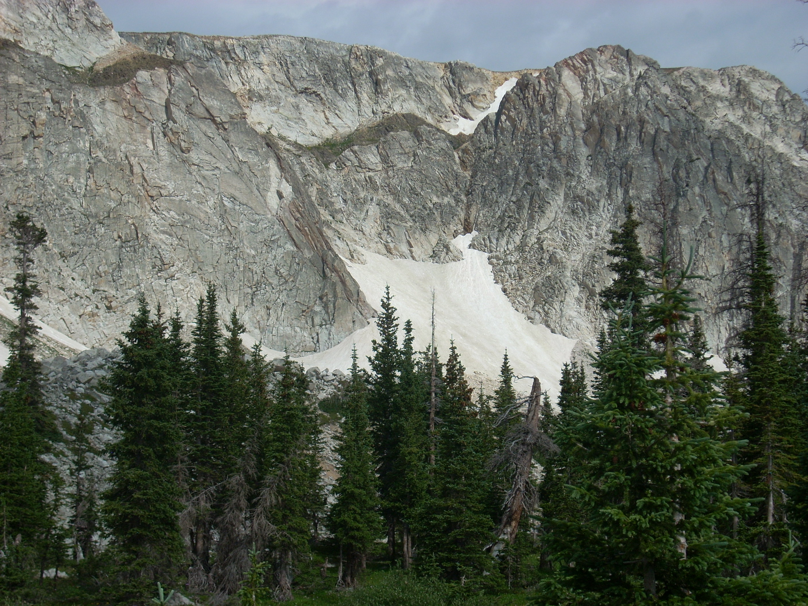
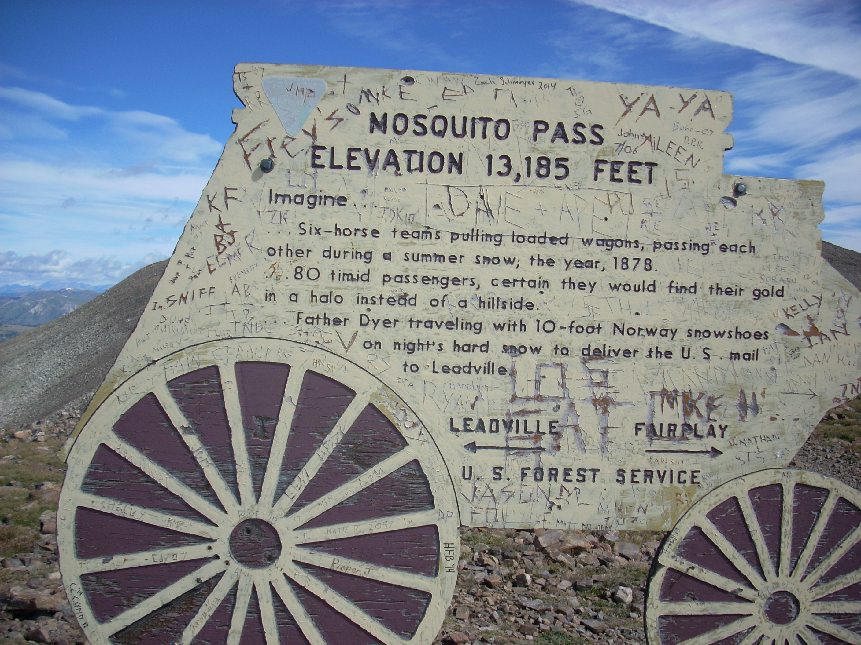 Mosquito Pass is world famous, and the road is a challenge. My stock Tacoma was fine, but the road is steep and very rocky. They ain’t called the Rocky Mountains for nothing. It is a spectacular trip, with views of some of the tallest mountains in our state. I will do it again.
From Mosquito Pass I went down to Fairplay and home via Guanella Pass, another of my favorites.