Shaking and Baking
As you are aware if you are a regular reader of my ravings, I am a geology buff. I like the Big Picture, mid-ocean rifts and rises, tectonic plates shoving one another around, places where the hot insides spout out of the ground, mountains rising and being worn away, and the oceans becoming ever more salty. Most of the time, all this is a slow process, but sometimes all hell breaks loose.
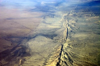
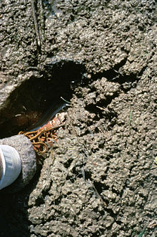
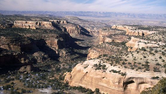
San Andreas Fault
Just look at that photo of the San Andreas Fault. Things are clearly on the move and the land is being torn apart. The Pacific Plate is sliding northward along the North American Plate. Pasadena will one day be next to Anchorage. Don’t wait up for it, though. The Pacific coast of North America is one of the most seismically active regions on the Ring of Fire surrounding the Pacific Ocean. It shakes, it blows, it smokes, it flows.
Places like that make nice places to live. Most of the time. There is the ocean, lots of pretty landscapes with beautiful mountains nearby, and places to grow things. Just look at the Seattle-Tacoma area. Bays, inlets, rivers, islands, and a big old mountain to look at. It is easy to forget that mountain is a large volcano just biding it’s time until it lets loose again.
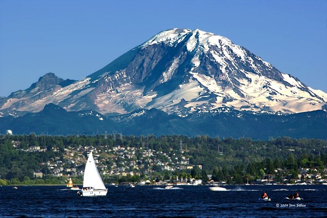
Mount Rainier. Close to Town
If Rainier resembles Mt. St. Helens in the way it erupts, there might be some warning. What we won’t know is how big, exactly when, and for how long. There is a lot going on in that area. Boeing, Microsoft, REI, millions of people, and Starbucks are a few examples. If a swarm of magnitude four earthquakes begin, what to do? Shut everything down and evacuate? Where will everyone go? What about looting and plundering? What if it doesn’t erupt for months, if ever?
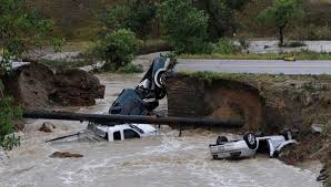
Pyroclastic flows of very hot, wet, chunky stuff have flowed off that mountain all the way to the ocean. The old cliche says “It is not if, but when.” We just do not know when. So, life along the Pacific Rim is always something of a gamble. I have felt small earthquakes and looked into the crater of a Volcano in Costa Rica, a lovely, green, paradise. Earthquakes destroy roads and railroads, volcanos bury villages, and life goes on.

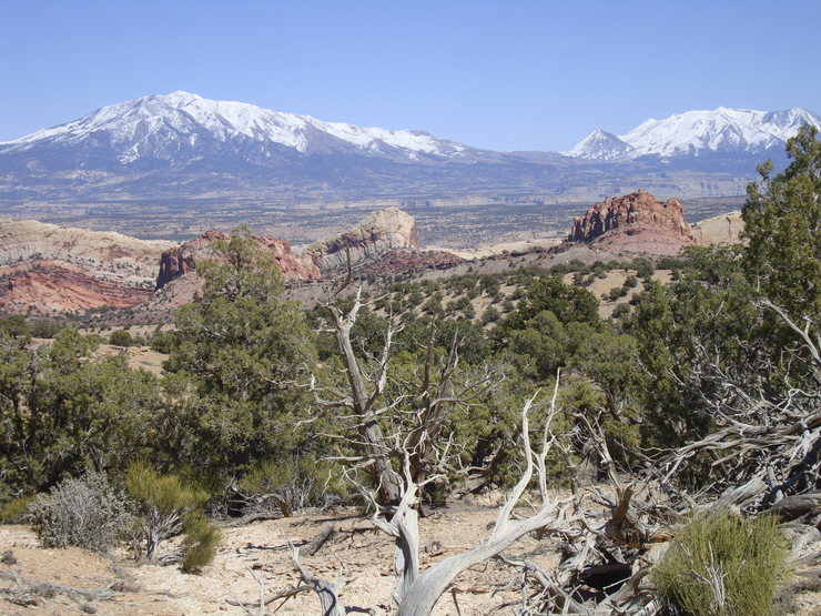
Irazu, Costa Rica
Small, poor Costa Rica is one thing, the Seattle-Tacoma area, or Los Angeles, or Portland, or Eugene, or San Francisco are entirely different matters. No amount of preparation can take into account all the things which might happen. Prediction is in its infancy. Mt. St. Helens in hindsight gave lots of warning, but the disaster was huge in a relatively isolated area. When Rainier or Mt. Hood let go the disaster will be in a heavily populated area with just a few ways out.
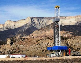
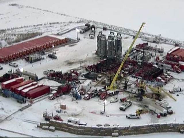
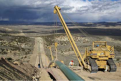
Currently there are lots of earthquakes in the oil field regions of Texas, Oklahoma, and surrounding areas. I wouldn’t worry too much if I lived there, the odds of a Big One are fairly small. St. Louis and Salt Lake are at more risk. The West Coast is the big danger zone. The earth will keep moving, the plates will continue to slide. Eruptions and quakes will continue to happen. My solution? Don’t live there. What is your plan?